
Lately I have been focusing on the Road to Nowhere. There have been
parts of the City that readers have told me that nobody other than me
sheds light on. The Road to Nowhere is not one of those places.
Everybody, including me have pondered its future and have tried to pull
it out from despair and into a 21st century successful mixed use
Neighborhood. As I have pondered its future I came up with some ideas
but then I realized I already read them on other blogs, in fact the
blogs belonged to fellow bloggers and think tankers like me Gerald
Neilly and Peter Tocco. So, for this post regarding the Nowhere I got a
little help from my friends.
 |
| Photo From AA Road Guides.com |
It's obvious that the Road to Nowhere needs helps and that in its
current condition, itself and its West Baltimore Neighbors will only
worsen. There has been some improvement lately along here in the form of
HOPE VI developments Heritage Crossing and Townes at the Terraces
replacing Murphy Homes and Lexington respectively. These new low density
Town Home development didn't change the layout of the Road to Nowhere
which I believe is where the road to block lies.
 |
| Photo AA Road Guides.com |
One reason it's called the Road Nowhere and perhaps the biggest is
because it is completely useless. It was meant to act as a spur to
connect I-70 to Downtown while I-70 was on its way to meeting I-95 near
Caton Avenue. Well construction began on this spur located between
Franklin and Mulberry Streets in West Baltimore. However the phase of
I-70 that was supposed to extend it from the western edge of Leakin Park
to I-95 was halted due to outcry from citizens who were against having a
highway run through Leakin Park. This, along with the prospect of
extending I-83 through Fells Point and Canton elevated the profile of
Barbara Makulski and eventually made her the senior US senator from
Maryland. What the Road to Nowhere is now was the beginning and end of
that attempt to extend I-70 from Leakin Park.

Although all of the Road to Nowhere is terrible shape, we must
focus on specific areas and phase redevelopment. The only real
interchange the Road to Nowhere has is with MLK Boulevard. At this
interchange, traffic exits from the "freeway" where it rejoins Mulberry
St. for a signalized intersection with MLK Boulevard. Those who continue
on the "freeway" simply go over a bridge over MLK Boulevard where they
rejoin Mulberry St. at the western edge of Downtown. This shows how
useless the bridge is going eastbound. Lets see how useful it is or is
not going westbound.
 |
| Photo From AA Road Guides.com |
When approaching the Road to Nowhere westbound you're more or less
exiting Downtown and venturing into West Baltimore. While on Franklin
St. you will have the option to bare left to go on the Road to Nowhere
or to stay on Franklin St. for a signalized intersection with MLK
Boulevard. It is assumed that if you remain on Franklin St.
your destination is MLK Boulevard but it doesn't have to be. Traffic
entering both Franklin St. and the Road to Nowhere uses that signalized
intersection as well. Theoretically, if you went straight at the
intersection and just stayed on Franklin St. you could avoid the Road to
Nowhere for its entire length.
 |
| Photo From AA Road Guides.com |
When turning onto Franklin St. from MLK Boulevard (west of the
bridges) you have to the option of baring left to enter the "freeway" or
stay on Franklin St. This little ramp is where Fremont Avenue would
have met the Road to Nowhere but instead stops and starts up again at
either end of it. So what I've basically determined in these last two
paragraphs is that the MLK Boulevard bridges are completely useless.

So, demolishing the bridges and rerouting traffic onto Franklin St.
instead of the Freeway is step one thus closing the entire westbound
section of it from MLK Boulevard to Monroe St. The eastbound section of
the can remain in operation until redevelopment or the Red Line calls
for its closure. It will be shortened however to allow for the
demolition of the MLK Boulevard bridge so that all traffic will exit at
the ramp and rejoin Mulberry St. before crossing MLK Boulevard.
Demolishing these bridges will free up a lot of land in between Heritage
Crossing and the Terraces. This will constitute Phase I of
redevelopment. Since both the Terraces and Heritage Crossing are both
lower density Town Homes, I believe it best to streamline those two
developments by making the new Neighborhood low density Town Homes as
well. The new development will go from MLK Boulevard to Fremont Avenue,
which will be reopened at the freeway where access was cut off during
its construction. Hopefully this new Neighborhood renamed "Franklin
Mulberry Crossing" will spur new development further down the freeway. I
think the demolition of the MLK bridges will symbolize a new era of
investment and development in all of West Baltimore.

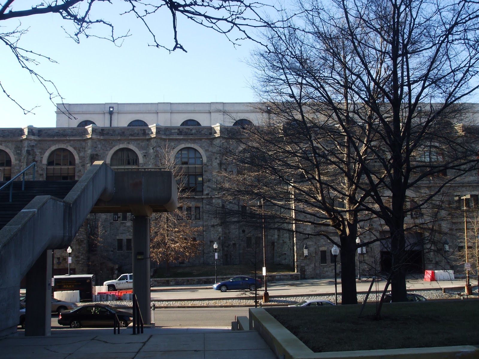
Phase II of redevelopment should occur east of the bridges at the
edge of Downtown. I'm speaking of course about the mammoth Social
Security Building. Rumor has it that they will be moving to the State
Center just a few blocks northwest and this building could and should be
demolished. This coupled with its monster parking garage will free up a
huge swath of land stretching from Greene St to the east, Franlkin
St. to the north, Saratoga St. to the south, and MLK Boulevard to the
west. This will be the perfect opportunity for a high density mixed use
Residential, Commercial, and Ground Floor Retail Center that will serve a
true western gateway to Downtown. In addition, parking garages will be
built in the center of the buildings so they are masked to the naked
eye.

Phase III of redevelopment involves the Terraces and their frontage
on MLK Boulevard. There 's a very busy Rite Aid located here and I
think it should redeveloped to create a row of Neighborhood Retail along
MLK from Mulberry St. to Saratoga St. Although it will have MLK
frontage Violet White Way will serve as a collector street so as not to
disrupt traffic on MLK Boulevard. Just south of Saratoga St Violet White
Way will be extended so that the site that Lexington Terrace Elementary
once stood could be developed as a mid rise low income Senior Apartment
Building. Also Lexington St. will be reopened to traffic with a
vehicular intersection with MLK.
Finally, we come to Phase IV, the final phase in this
plan. Phase IV is the southern border of Seton Hill. Seton Hill contains
some of the City's best historic housing stock at the best prices while
at the same time has lots of mature trees the gem that is Saint Mary's
Park. The southern border of the Neighborhood consists of a triangle
that is made up of Pennsylvania Avenue, MLK Boulevard and Franklin St.
What's there now are suburban style Garden Apartments that appear to be
1970s urban renewal era that were most likely built around the time of
the Road to Nowhere. These will be redeveloped as Row Homes that are
reminiscent of classic Seton Hill Row Homes that will look like they've
been there the whole time. The only difference is that they will have
garages in the back to minimize size of the parking pad. These new homes
will have frontage on the three mentioned streets and will back to a
small "pocket park" that will act as an extension of Saint Mary's Park.
 |
| Photo From AA Road Guides.com |


No comments:
Post a Comment